

Our story
Cartography, as a keepsake.
We think the places where life happens deserve better than a pin on a phone. So we built a small studio that turns them into something you can hang on a wall.
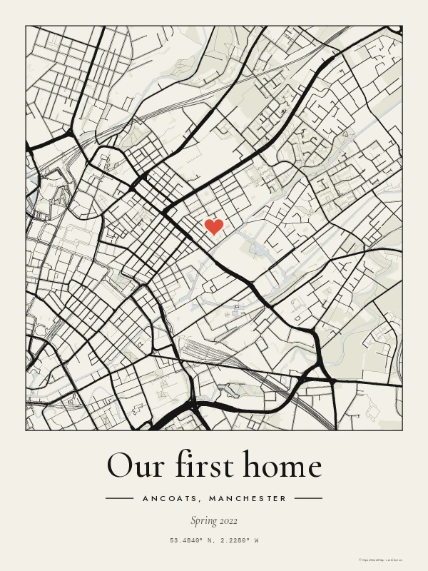
Drawn by us, from open data
Every Lat & Long map is drawn by our own map engine from OpenStreetMap, the free, community-made map of the world, maintained by volunteers everywhere. We pull the roads, railways, rivers, coastlines and parks for your place, decide how heavy each line should be, and set your words in type. Every print carries the credit “© OpenStreetMap contributors”, as it should.
Because the preview and the print come from the same engine, what you approve on screen is exactly what we print, just at 300 dots per inch.
Printed and framed in the UK
Our prints are made to order by Prodigi, a specialist print-on-demand lab, at their UK facilities: 200gsm matte fine art paper, and classic wooden frames with shatterproof glazing. Nothing is printed until you order it, so there's no warehouse of unsold stock.
Who we are
Lat & Long is part of Highfold Group, an independent British company. We read every email ourselves. If something isn't right, tell us and we'll put it right.